


Mapping & Surveying
Using a drone to map forestry can be extremely useful in various ways. Firstly, drones can capture high-resolution aerial imagery, which can provide detailed information on the forest structure, including the height, density, and distribution of trees, as well as the presence of clearings, canopy gaps or windblown areas. This information can help to understand the forest’s health, identify potential hazards, and develop better management strategies.
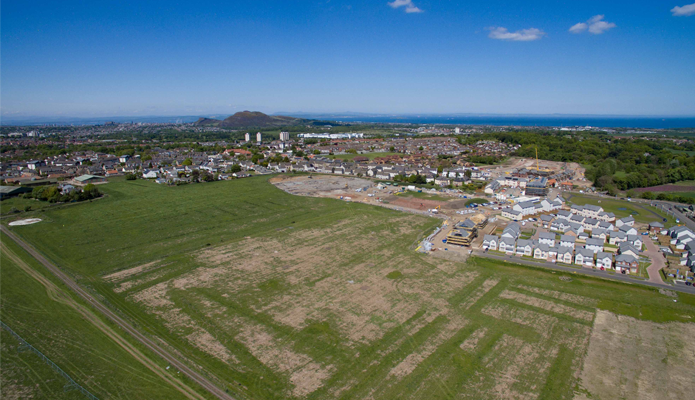
Drones can cover large areas quickly, accurately and cost-effectively, which can create highly detailed orthomosaic maps and monitor vast forested areas efficiently. This information can help to make informed decisions about forest management, including where to focus efforts to protect and conserve the forest’s biodiversity.
Overall, using drones to map forestry can provide valuable data that can help to manage forests sustainably, efficiently, and monitor the productivity of large areas.
Sorbie Tower
This L-shaped fortified tower sits near the village of Sorbie in Dumfries & Galloway. While the tower itself was built in the 16th Century, the remains of a 12th Century motte sit nearby.
Doon Castle Broch
A rare example of a broch in southern Scotland, Doon Castle Broch sits in the Rhins of Galloway, right on the coast of the Irish Sea.