GOING BACK IN TIME
Select a point on the map below to view Castle Haven as it was more than 1,000 years ago. When prompted, allow access to your mobile device's motion control to be able to look around freely.
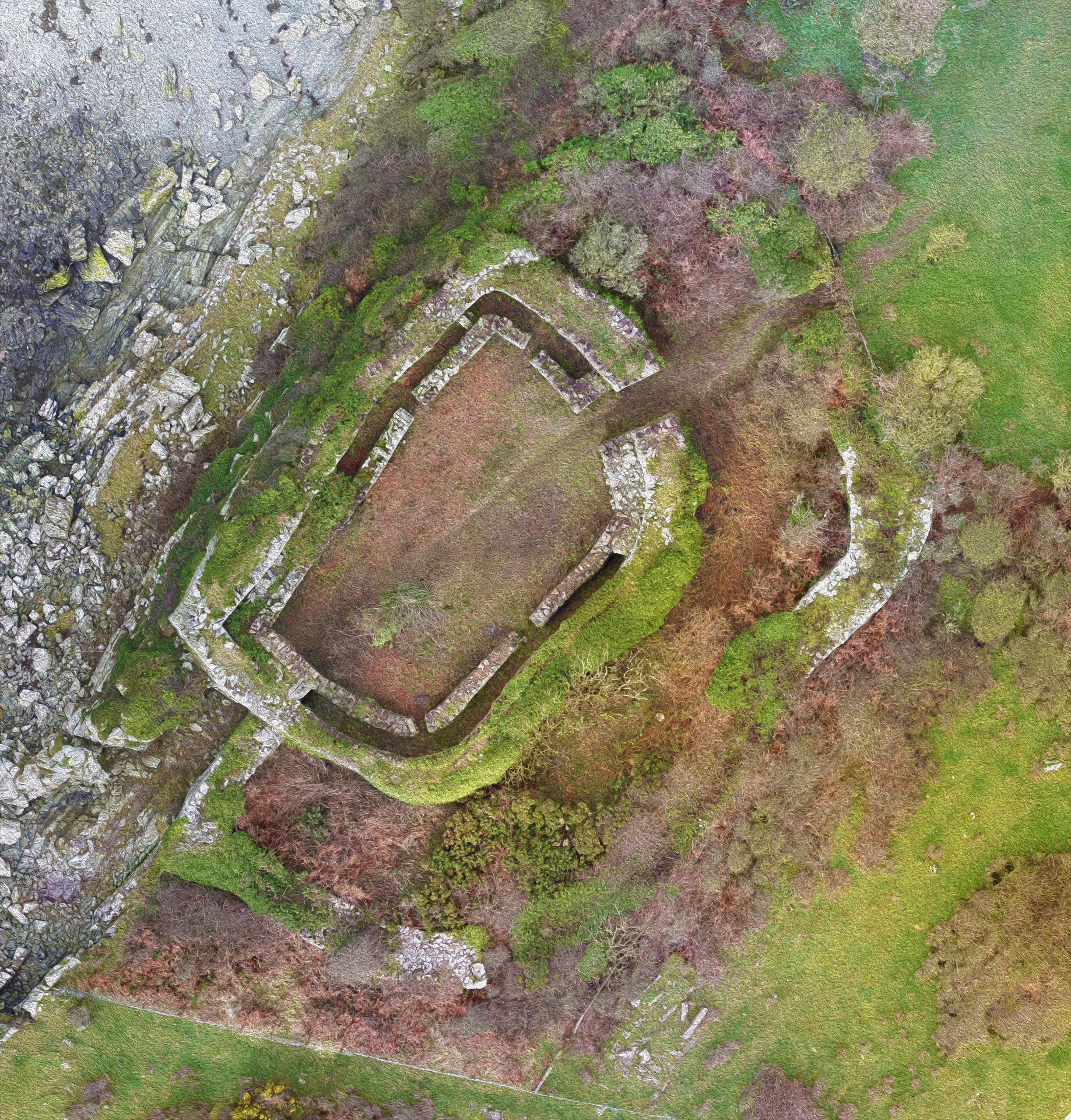
Select a point on the map below to view Castle Haven as it was more than 1,000 years ago. When prompted, allow access to your mobile device's motion control to be able to look around freely.